GEOB 307–Discrepancies Among the Range Maps for Rubus armeniacus and Sturnus vulgaris

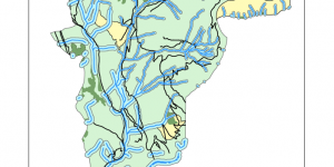
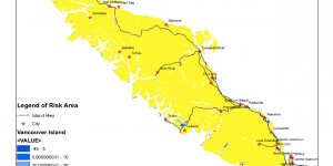
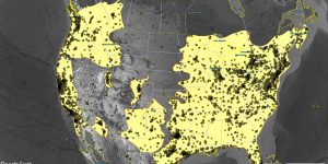
The species range map is the assessment of species distribution and dispersal patterns in a particular location. This map will provide information that helps to connect the geographical displacement with ecological, climate, and environmental factors. The species range map uses metadata, experimental results, ecological modeling, and taxonomic experts’ prediction to create a visual explanation of why species are found in particular habitats.


GEOB 270 LAB 3 Storm Surge: Spatial Analysis, Visualization, Editing

As the geological and climate change events influences many parts of the world, the flooding and waves recently in Tofino on Vancouver Island also affect Metro Vancouver area badly. This series of maps provides the GIS analysis of the risk of flooding or storm surge on schools and roads in Metro Vancouver area in 2018.


GEOB 270 LAB 5 Environmental Impact Assessment (EIA)

The Garibaldi at Squamish project is a proposed year-round destination mountain resort on Brohm Ridge, 15 km north of Squamish on Highway 99. In this lab, the different environmental impact of building a ski resort will be analyzed.


GEOB 270 Final Project on Vancouver Island Tsunami Vulnerability

Due to the recent climate change, the weathering events have influenced the world in many aspects including flooding, earthquake and volcano eruption etc. Among those, the threat of the potential tsunami that hitting the West coast of Canada has been loomed for years. Therefore a group project was designed to investigate the risk of tsunami on two very representative cities--Tofino and Ucluelet.