GEOB 307–Discrepancies Among the Range Maps for Rubus armeniacus and Sturnus vulgaris

The species range map is the assessment of species distribution and dispersal patterns in a particular location. This map will provide information that helps to connect the geographical displacement with ecological, climate, and environmental factors. The species range map uses metadata, experimental results, ecological modeling, and taxonomic experts’ prediction to create a visual explanation of why species are found in particular habitats.
Examination of phytoplankton’s performance to abiotic condition changes as a water quality indicator

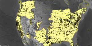
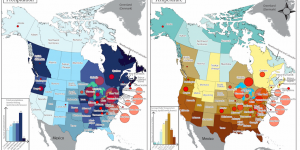
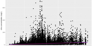
Phytoplankton can be bioindicators to assess water quality in freshwater ecosystems. In this study, phytoplankton biomass responses to temperature, sunlight, water body size, and water body connectivity were evaluated to justify their sensitivity as the water quality indicator. 65434 observations from LAGOS-NE were analyzed to show the correlation between phytoplankton biomass and abiotic factors.


Simulating Population Growth Rates of Alliaria petiolata in Lower British Columbia

Final Group Project with Elana Shi and Urim Lim
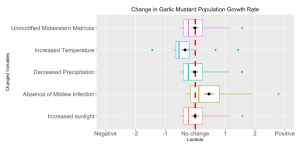
--Alliaria petiolata, known as garlic mustard, has colonized the North American East Coast and Midwestern regions at relatively high concentrations, and poses dangers to forest biodiversity and productivity. In this study, we conduct a meta-analysis on a small set of available experimental literature on Alliaria petiolata to try understand the currently stunted invasion into lower British Columbia.